top of page
Journey to Newfoundland, 2022
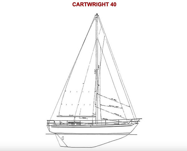


Windflower is a 1972 Cartwright 40

Maritime Canada

Newfoundland's South Coast

1) A view from Windflower's cockpit as we depart St Augustine, FL

2) Rogue's Roost, Nova Scotia

3) Deadman's Cove, La Hune Bay, Newfoundland

4) Aviron Bay

5) Hare Bay, aka Morgan's Arm, facing south from the head of the fjord

6) Francois

7) Fishing boats in Hermitage

8) Looking south from the abandoned outport of Great Jervis Harbor

9) Waterfall in North Bay

10) Windflower at Little Cullier Bay

11) Cul d'Sac

12) Two anchors forward and two lines going ashore at Cul d'Sac

13) Lakes on the plateau above Facheau Bay

14) Windflower at Devil Bay

15) Looking down on the entrance to Devil Bay

16) Blow Me Down cliff in Devil Bay

17) The abandoned outport of Grand Bruit

18) Grand Bruit's only permanent resident

19) Isle Aux Morts

20) The public dock at Isle Aux Morts
bottom of page